Application Fields
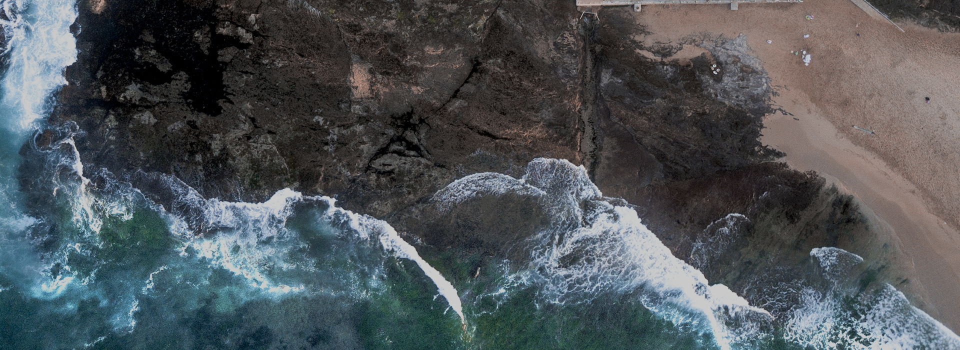
Water Quality & Environmental Protection: Water quality monitoring (total nitrogen, total phosphorus, ammonia nitrogen, chlorophyll, turbidity, potassium permanganate index, etc.)
Soil Monitoring: Soil moisture content monitoring, soil fertility monitoring, heavy metal pollution monitoring
Geological Applications: Mineral mapping, mineral composition detection, mineralization prediction
Agricultural & Forestry Carbon Sink: Agricultural surveying and mapping, pest and disease control, tree species identification
National Defense & Military Industry: Camouflage recognition, unmanned reconnaissance, etc.

Functional Features
Unattended Operation
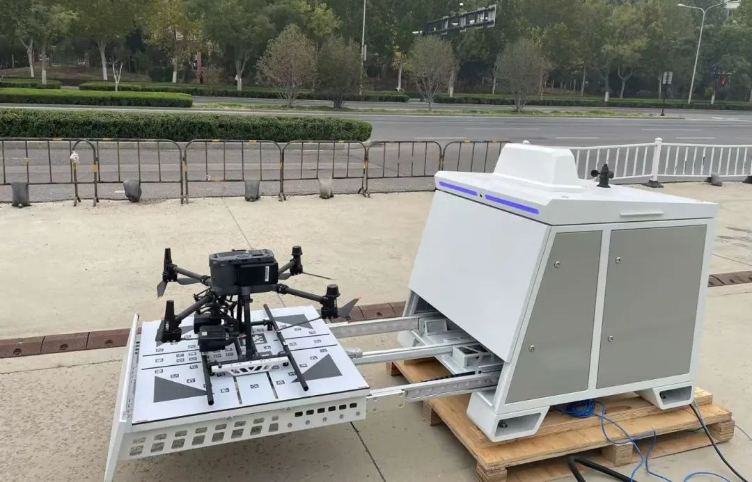
With a lightweight-designed hyperspectral payload system, combined with industrial UAVs and automated drone nests, the entire remote sensing monitoring system enables automatic task planning and execution. The UAV is capable of autonomous flight, supporting intelligent path planning and dynamic obstacle avoidance, which greatly enhances flexibility and safety in practical operations.
Remote Monitoring & Management
The system can provide real-time data feedback at the ground station, enabling remote viewing of equipment operation status, task progress, and real-time data streams. During the operation, the working status can be monitored at any time or manual control can be taken over to ensure the smooth progress of the task.
Built-in Intelligent Algorithms
The system is equipped with a variety of deep learning algorithms. Users can import different algorithm models according to their own application needs, conduct independent training and independent upgrades, continuously expanding application scenarios and improving monitoring accuracy.
Real-time Inversion Capability
By acquiring data in real time through the hyperspectral sensor, the system can complete preliminary data processing and inversion, and upload the inversion results to the cloud platform in real time to provide immediate support for decision-making.
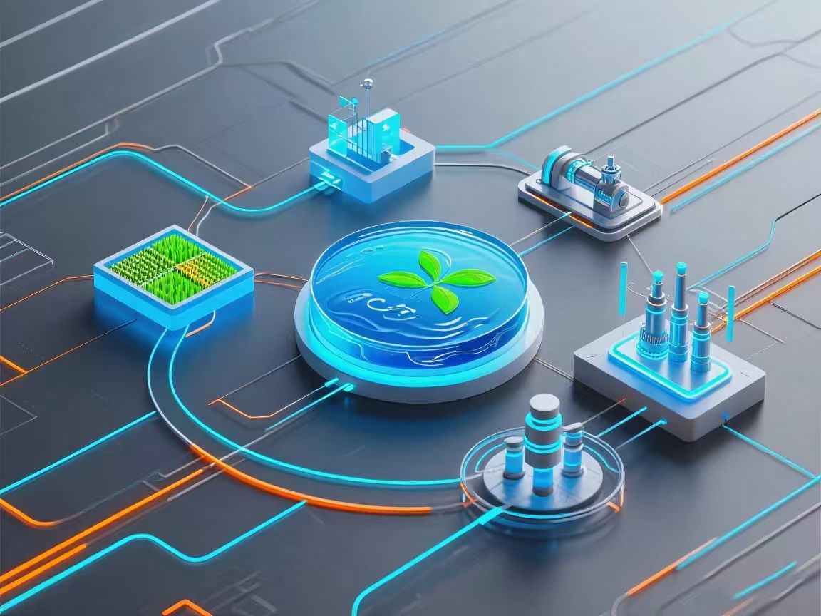
Adaptation to Multiple Scenarios
The system has built-in multiple algorithms such as water quality monitoring and vegetation index. A single system can support multiple application scenarios including agriculture, forestry, water quality, and urban areas, maximizing the fulfillment of low-altitude comprehensive remote sensing monitoring needs.
Support for Third-Party Data Calibration
The system supports accessing high-precision data from third-party laboratories or online monitoring stations to automatically calibrate the on-board remote sensing analysis results, correct system errors, and improve data accuracy.
Specifications
TECHNICAL SPECIFICATIONS | ||
Hyperspectral Camera | Spectral range | 400-1000nm |
Spectral resolution | ≤ 3.5nm | |
Spacial resolution | 1.2mrad @f=16mm | |
FOV | 29°@f=16mm | |
Spatial pixels | 1450(1×1) | |
Spectral bands | 921(1×1) | |
Sensor | CMOS | |
Data interface | USB3.0 | |
Bit depth | 12bits | |
Frame rate | 128fps | |
Lens | 16mm | |
| HD Camera | 500W/1500W |
FOV | 45-80°(different lens) | |
Interface | USB2.0 | |
Integrated computer | CPU: I7, Memory: 16GB, Hard Drive: 2TB | |
GPS | Supports RTK mode (corresponding service activation required) | Positioning accuracy better than 250px |
Others | Operating current | Peak current: 3A |
Input voltage | 13.6V | |
Weight | < 960g (main unit, lens, and gimbal included) | |
Operating temperature | 0-50°C | |
Storage temperature | 0-60°C | |
message
All Rights Reserved@Hangzhou Hyperspectral Imaging Technology Co., Ltd. 浙ICP備19040412號(hào)-2 網(wǎng)站地圖
Design By: Yushangweb